Whatsapp
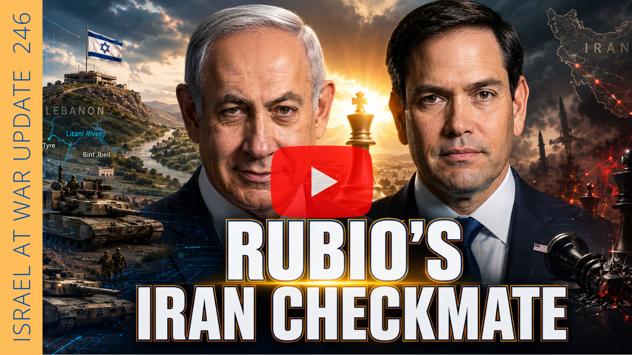
The trigger was Hezbollah’s latest barrage on northern Israel, when roughly 200 rockets were launched and more than a hundred crossed into Israeli territory. The scale of the attack forced Israel’s leadership to confront a reality that has been building for years: Hezbollah’s presence along the border makes normal life in northern Israel impossible.
Israeli Defense Minister Israel Katz issued one of the clearest warnings yet. “If the Lebanese government cannot control the area and prevent Hezbollah from threatening northern communities and firing towards Israel, then we will take the territory and do it ourselves,” he said following a security assessment in Tel Aviv.
Katz also revealed that he and the prime minister had instructed the IDF to prepare to expand operations in Lebanon in order to “return quiet and security to the northern towns.”
Taken together, those statements point to a strategic reality: the current border arrangement is failing. Israel evacuated entire communities after October-era escalations with Hezbollah. A frontier that requires tens of thousands of civilians to abandon their homes is not a sustainable border.
To understand what may come next, one must revisit an older strategic concept that predates Hezbollah entirely.
Israel’s first prime minister, David Ben-Gurion, long argued that the Litani River represented the natural northern defensive boundary of Israel. In the early years of the state, Ben-Gurion believed geography—not diplomatic lines drawn by colonial powers—should determine security borders. The current Israel-Lebanon frontier was largely inherited from the arrangements imposed by Britain and France after the collapse of the Ottoman Empire.
Those lines were administrative conveniences, not strategic ones. They left Israel’s northern communities within a few kilometers of hostile forces. Over time, Hezbollah exploited that vulnerability by embedding missile infrastructure and elite infiltration units along the frontier.
Ben-Gurion’s argument was simple: defensible geography matters more than inherited maps.
That historical logic now intersects with contemporary geopolitics. Washington’s broader Middle East strategy under the Trump administration has increasingly focused on reshaping regional security realities rather than preserving failing ones. From confronting Iranian proxies to backing new regional alignments, the approach favors strategic clarity over diplomatic ambiguity.
In that context, an Israeli move to push Hezbollah away from its border towns would not necessarily represent ideological expansionism, despite claims from critics who frame every Israeli military action through the lens of a mythical “Greater Israel” agenda. In practice, such a move would reflect something far more pragmatic: establishing a buffer that prevents Hezbollah from threatening Israeli population centers.
A security belt extending toward the Litani River—whether formalized or simply enforced through military control—would dramatically alter the northern battlefield. It would push Hezbollah’s rocket units farther from Israeli cities and create operational depth that the current border simply does not provide.
None of this is inevitable. Wars rarely unfold exactly as planners imagine. But the strategic direction is becoming clearer. If Hezbollah continues launching large-scale attacks and the Lebanese state proves unable—or unwilling—to restrain it, Israel may conclude that geography itself must be corrected.
The Middle East has seen many artificial borders drawn by distant powers. History suggests those lines rarely survive sustained conflict. And on Israel’s northern frontier, the next map may already be taking shape.